Wayne C Y Shih

New Zealand
Mapping Service
Mapping Service
New Zealand Mapping Service
Email
Instagram
Website
Statement
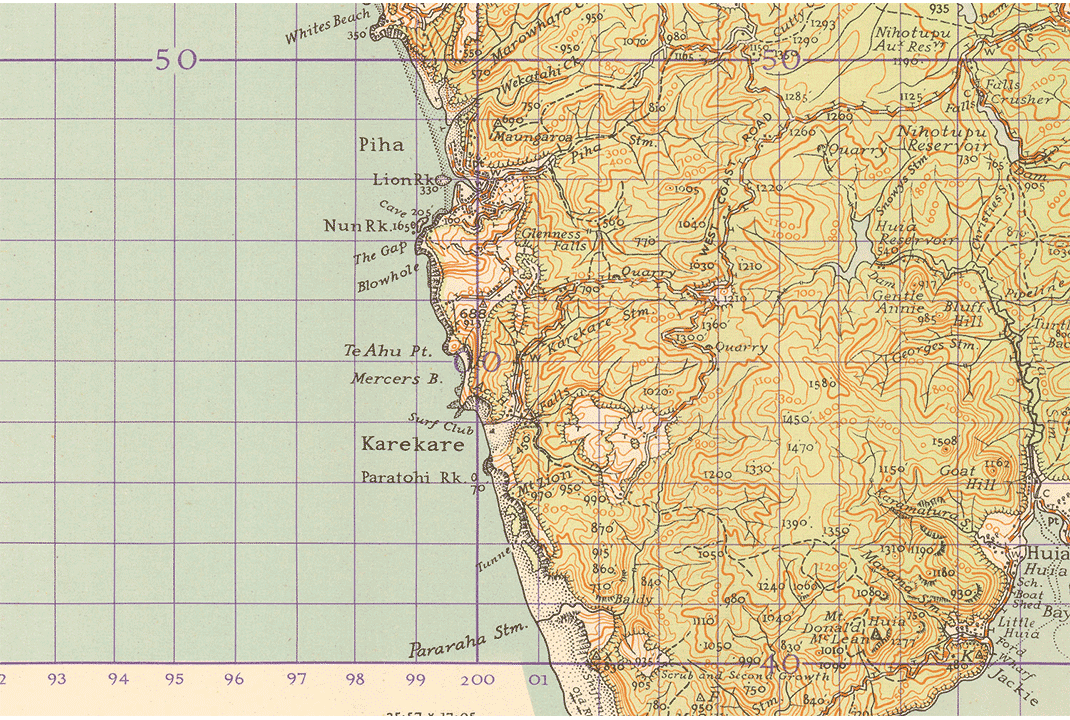
In 1935 driven by the war and fear of invasion, the Department of Lands & Surveys (now, Land Information New Zealand Toitū Te Whenua) began planning for a national inch-to-mile topographic map series – NZMS 1 1:63 360.
During the 1940s, 160 provisional sheets were published, this was before any uniform standards were agreed upon, and was known to be our first national topographic program.
The typeface I designed is based on the NZMS 1 letterings.
The research book includes various design element analysis and historical finds.